A Blip then the cold returns – Thursday 24th January 2019 – Sunday 27th January 2019
Hi all,
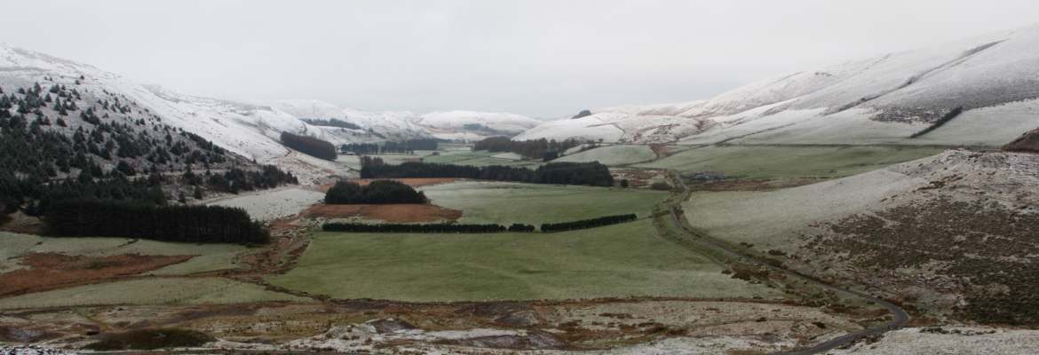
Brrrr! It’s been a cold start to Wednesday (-7°C in some local spots) with a widespread frost and ice after some further hail and snow showers overnight. Today will be a lovely winter’s day, with fog slow to clear for some, but our weather is changing once again, and not just once!
Thursday: A cold start with a localised patchy frost especially in the East and the odd isolated hail or snow shower. Any brightness fading as cloud thickens from the west and it will slowly become less cold. Max 5°C
Friday: Cloudy and dull with some patchy drizzle, more so later in the day. Milder. Max 8°C
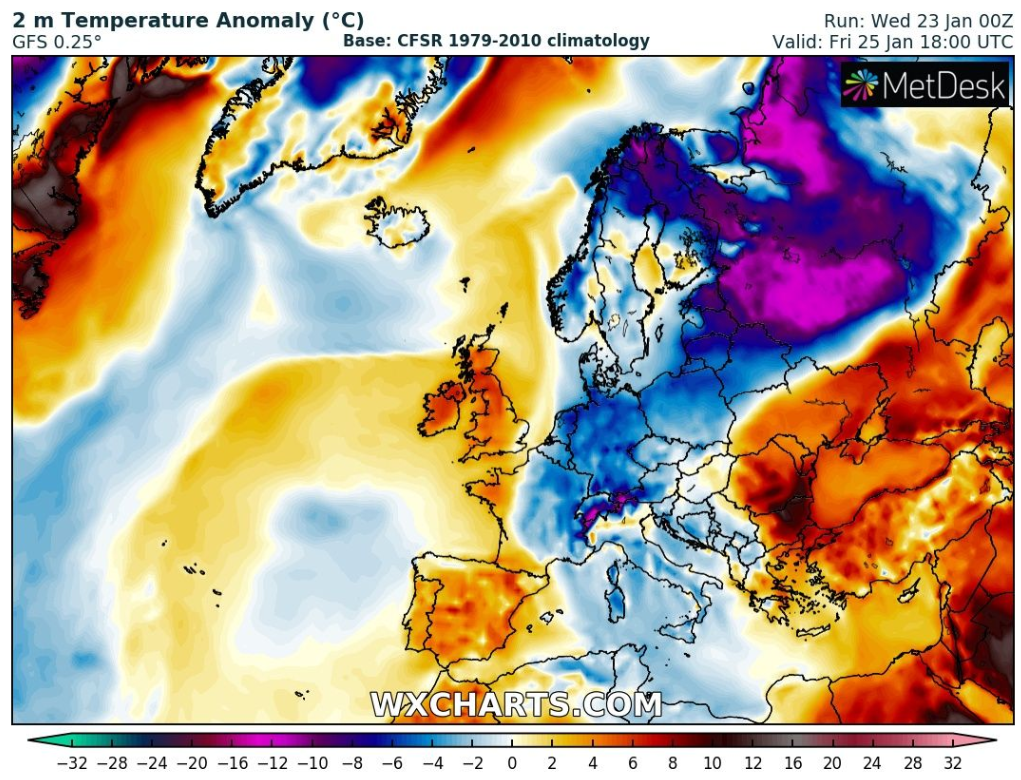
Weekend: Colder air returns after some rain
Saturday: Windy with rain spreading down from the northwest. Some sharp bursts before clearing to some showers into the afternoon. Mild at first but colder behind the main rain-band. Max 7°C
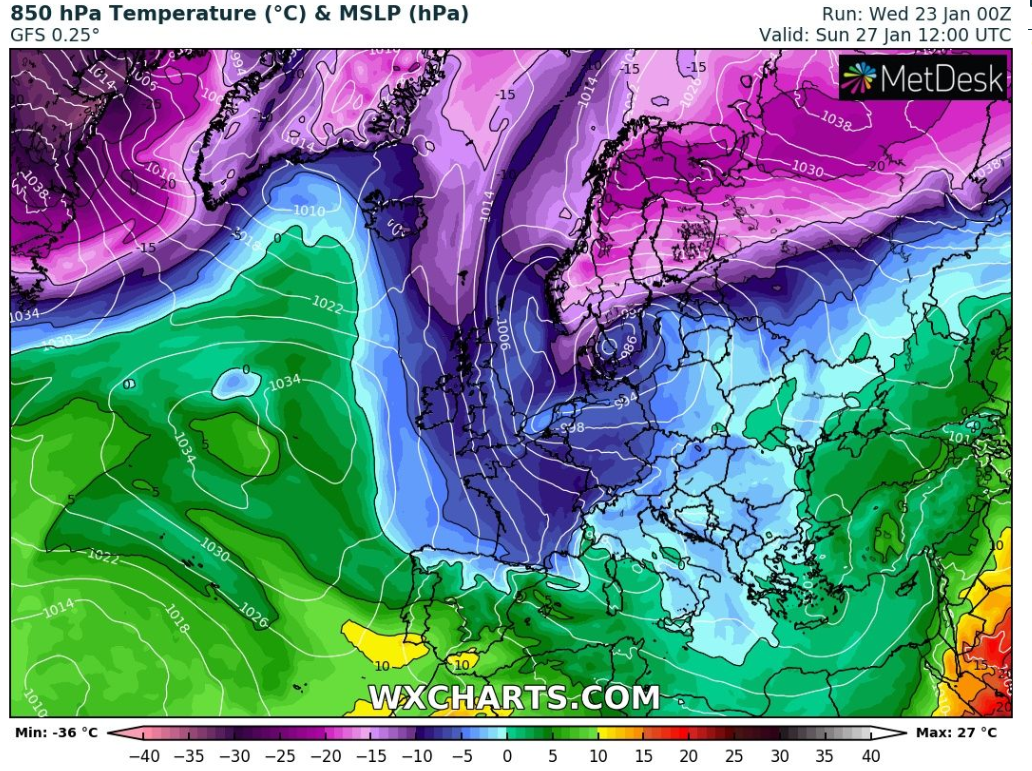
Sunday: Cold and sunny with the odd wintry shower. A raw wind making it feel well below zero. Max 4°C
Outlook: Remaining slightly colder than the late-January average, with bright spells, frosty nights but also some wintry showers around with low pressure nearby. No sign, yet, of the Beast from the East.
Follow @ChadWeather on Twitter for the latest forecasts.
Thanks,
Jon
Forecast Issued at 9:40am on Wednesday the 23rd of January 2019.

Author: Jon Baylis