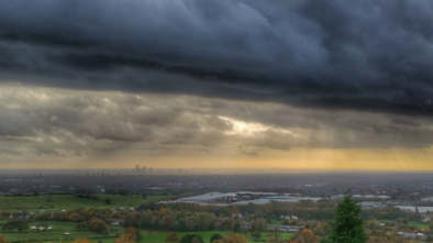
High pressure to take charge but for how long? – Thursday 18th April 2024 – Sunday 21st April 2024
Hi all,
Busy this week so the blog will be short and sweet.
After more rain this week, and some autumnal weather on Monday, bringing strong winds, 20mm of rain, hail & thunder, the weather is slowly but surely becoming more settled and drier but it’s not a smooth passage. Rain is still in the forecast but the high pressure mentioned last week is coming to our shores to dominate for the weekend. As said on a few X posts, it’s not going to be days upon days of wall-to-wall sunshine nor is it going to be that warm.
Before all that, tonight will be frosty. So gardeners beware.
Thursday: A cold and frosty start for those up early. Sunny spells won’t last too long though as cloud will thicken from the northwest as an area of low pressure topples over the top of the Atlantic high. So patchy rain for the afternoon and lasting into the evening. Temperatures below average. Max 10°C Min 7°C
Friday: A cold-front will have moved south so cooler air across the region and a steady northerly breeze. Bright spells on offer though and it is expected to be mostly dry. Max 10°C Min 3°C

Weekend: High pressure on top of the UK.
Saturday: The position of the high pressure is crucial and the way it is positioned this weekend means there will be colder air lurking to the east. So west is best in shelter for higher temperatures. Overall dry with sunny spells, cloudier in the east at times. Max 13°C Min 5°C

Sunday: It looks set to be cloudier than Saturday as we drag in a northeasterly airflow and with it stubborn areas of cloud. This will make it feel cool. Any brightness further west. Can’t rule out cloud thick enough for drizzle on the tops. Max 13°C Min 6°C
Outlook: It would only take the high to drift a little further east for temperatures to be 3 to 4 degrees higher. But, as we enter the working week it looks like the high will drift back west allowing the northerly wind to return bringing colder air again. That said, plenty of dry weather up to midweek then it becomes uncertain; mostly likely outcome is the high drifts away and unsettled showery conditions return.
Follow @ChadWeather on X for the latest forecasts and warnings.
Thanks for reading as always.
Jon
Forecast Issued: Wednesday the 17th April 2024 at 7:37pm
Images: www.metrocentre.com & www.wxcharts.com


