
Cold and Wet – Thursday 7th March 2019 – Sunday 10th March 2019
Hi all,
Well what an end to February that was, with record-breaking temperatures [19.4°C on the 26th]. Certainly no sign of that returning in a hurry; staying more like February!
Thursday: A much colder day as the wind turns north-westerly with plenty of rain for the morning, some heavy at times. The afternoon will see the rain turn showery with some brightness in between. Some wet-snow on the tops can’t be ruled out. Windy with 35-40mph gusts. Max 7°C
Friday: A frosty start with some localised ice. A nice morning with sunny spells but this turning hazy into the afternoon with rain arriving late-evening and overnight. Max 7°C
Weekend: Windy (up to 40mph gusts) and showery.
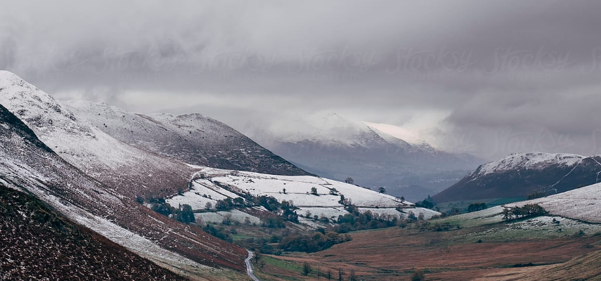
Saturday: Any early rain clearing to blustery wintry showers with some hail and hill-snow. Feeling chilly in that north-westerly wind. Max 8°C
Sunday: A longer spell of rain possible early on then again we are back to wintry showers, falling as sleet and snow on the tops. Windy and feeling cold. Max 6°C
Outlook: Remaining chilly and windy with rain at times followed by wintry showers and some snow on the hills (the weather is on rinse and repeat).
February 2019 Stats
Max 19.4°C (26th)
Min -4.8°C (3rd)
Av. 7.2°C (above av.)
Av. Dew Pt 3.6°C
Wettest 12mm (7th)
Av. Humidity 80%
Av. Barometer 1018.2 hPa
Max Gust 44.9mph (9th)
Av. Wind Direction SSW
Rain 43.2mm (58% of av.)
Rain Days 14
Frosts 3
Snowfall 0cm
Follow @ChadWeather on Twitter if you want a forecast or to just to keep up-to-date with the weather across North West England.
Thanks,
Jon
Forecast Issued on Wednesday the 6th of March 2019 at 18:50

Author: Jon Baylis

