
Cold with chance of hill-snow – Thursday 7th November 2019 – Sunday 10th November 2019

Hi all,
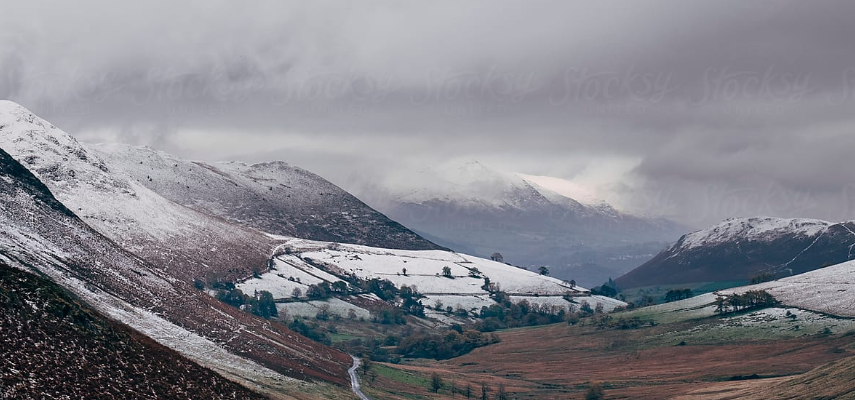
October was very wet compared to average but also colder. November has also turned chilly with the UK on the northern side of the Jet Stream. Cold enough for snow?
Thursday: Cloudy with rain at times pushing up from the south. Some uncertainty on how far north the rain gets so it is expected to be the wettest in the southern half of the region. Cold. Max 8°C
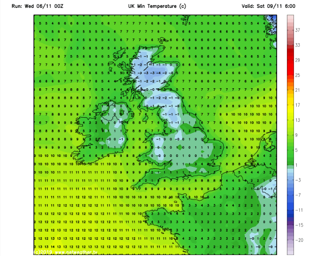
Friday: A much better day. Cloud and rain clears quickly if not already. Sunny spells and a cold northeasterly breeze. A very frosty night to come with lows of -3°C in some rural parts. Max 9°C
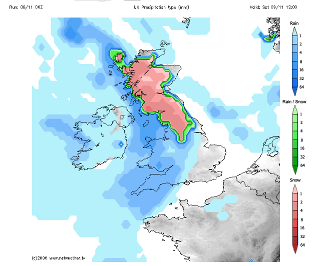
Weekend: Rain returns, possibly preceded by some hill-snow.
Saturday: Frosty and perhaps a foggy start for some. Bright spells for a time then rain comes in from the west and with the cold air in place, there could be some sleet or wet-snow for a time on the hilltops and the Pennines. Cold once again. Max 6°C
Sunday: Showery rain clearing to brighter skies with a few rogue showers. Drier towards late-afternoon. Cold northwesterly airflow. Max 8°C
Outlook: Remaining cold with temperatures struggling to double-figures. Some bright spells in between periods of rain. Chance of some gusty easterly winds picking up.
October 2019 Stats
Max 14.4°C (4th)
Min -0.1°C (28th)
Av. 8.9°C
Av. Dew Pt 6.8°C
Wettest 28.2mm (25th)
Highest UV 3
Av. Humidity 87%
Av. Barometer 1010.8 hPa
Max Gust 30mph (1st)
Av. Wind Direction SW
Rain 164.6mm
Rain Registered Days 19
Dry Days 12
Thanks for reading. Follow @ChadWeatheron Twitter for the latest on the weather.
Cheers,
Jon
Forecast Issued: Wednesday 6th of November 2019 at 10am
Image: www.netweather.tv/

Author: Jon Baylis