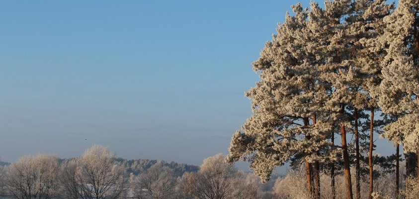
Lovely Weekend Ahead – Thursday 16th January 2020 – Sunday 19th January 2020
Hi all,
It’s been a mild, windy and quite wet start to January, so we will be thankful of this weekend’s weather. We are now halfway through winter and I’m still waiting for my snow fix. Surely it’s got to come soon?
Thursday: A bright start with a few sunny spells. Winds increasing and cloud thickening into the afternoon as rain arrives from the west. Milder. Max 10°C
Friday: The odd bright spell but generally it’s a day of showers moving in from the west/northwest. With this airflow comes cooler temperatures once again. Patchy frost and ice overnight. Max 7°C
Weekend: A refreshing change. Sunny, frosty and dry.

Saturday: High pressure builds so a dry day with sunny spells. Cool in the northwesterly breeze. Frosty overnight. Max 6°C
Sunday: Another dry day with plenty of sunny spells. Perfect winter’s day. Patchy frost to come overnight. Max 7°C
Outlook: Dry with bright spells and more in the way of cloud for Monday-Wednesday as the high pressure slowly slips away. Cloud-cover should prevent a frost at night. From Thursday winds will increase from the west as the Atlantic returns bringing some rain in time for the end of the working week and the weekend. STILL, no sign of any proper winter-cold or snowfall.
Average January Temperatures – highlights how mild this year has been so far
2013: 3.3°C
2014: 5.2°C
2015: 3.9°C
2016: 5.3°C
2017: 4.3°C
2018: 4.4°C
2019: 3.7°C
2020 (up to 14th): 6.5°C
Follow @ChadWeather on Twitter for your latest weather forecasts.
Thanks,
Jon
Forecast Issued: Wednesday the 15th of January 2020 at 12:30pm
Image: www.meteociel.fr/


