
Mixed Outlook – Thursday 13th September 2018 – Sunday 16th September 2018
Hi all,
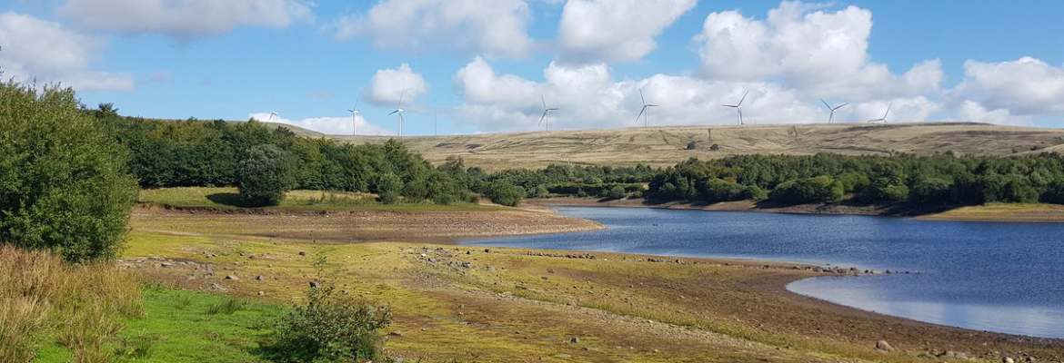
I’ve been working on some statistics for our Summers since 2013. Here are a few charts to compare 2018 to previous years. It shows how dry and warm Summer 2018 was.

Weather Analysis – Summers 2013-2018


On to the forecast….
Thursday: A fresh westerly breeze. A bright start with some good spells of sunshine. Cloud increasing with just the chance of a shower or two later. Max 16°C
Friday: Mostly cloudy but dry to start. Rain pushing in from the west during the afternoon, turning showery later. Breezy. Max 15°C
Weekend: Some rain, mostly on Sunday morning.
Saturday: Bright spells for most of the day. Cloud thickening later with some rain likely overnight. Max 16°C
Sunday: Rain to start which will push away to the south-east into the afternoon. Brighter and hopefully sunnier skies to follow for the afternoon, leading to a nice end to the weekend. There is some uncertainty about the morning rain and how quickly it moves away so if you have anything planned, watch out for updates. Max 17°C
Outlook: Becoming warmer into the early part of next week with some sunny spells and we might sneak back up to 20°C. From midweek a risk of rain returns from the west as the Jet Stream becomes lively again and temperatures will become cooler.
Follow @ChadWeather on Twitter for the latest forecasts.
Thanks,
Jon
Forecast Issued at 7:55pm on Wednesday the 12th of September 2018


Author: Jon Baylis

