Risk of Hill-snow and a Christmas Day Forecast – Thursday 13th December 2018 – Sunday 16th December 2018
Hi all,
We’re now in the time-frame to have a look at what the weather will be like on Christmas Day. A few days ago I said the chances of a White Christmas was sitting at 20%, and that was being generous. More about this later.
Over the next few days we have a battle going on, between cold and mild air, which could result in some snow. Note: The forecast for the weekend is still uncertain so subject to change.
Thursday: A nice albeit cold day. Sunny spells with a strong wind leading to a windchill. Max 4°C
Friday: Bright after a frosty start. Notably colder but remaining dry. Not as windy as yesterday. Max 3°C
Weekend: Risk of hill-snow. Improvements on Sunday.
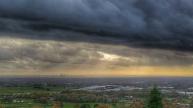
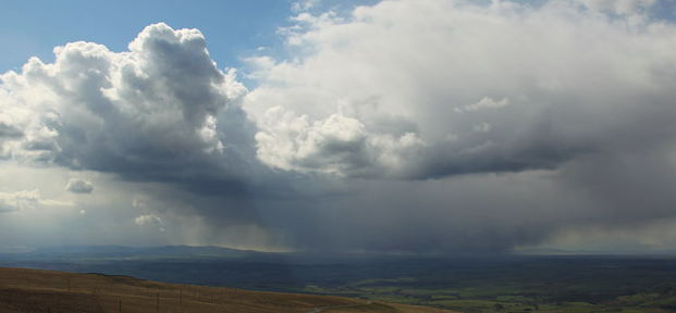
An awful Saturday evening as rain and hill-snow spreads NE
Saturday: Windy. A dry morning but slowly during the afternoon and evening, rain will spread NE perhaps with snow for time, even to some lower-levels. Most of the snow will be on the hills, not lasting too long, before turning back to rain during the evening as milder air arrives. Max 4°C
Sunday: Yesterday’s rain clears to a drier day with some bright spells and just a few showers. Milder but still a little chilly. Max 6°C
Outlook: The Jet Stream will return so spells of wind and rain with some drier interludes. Milder west to southwesterly winds.
Christmas Day: At this early stage (chuckles!) – Bright spells, dry with light winds. No snow. 8°C
Follow @ChadWeather on Twitter for your latest weather forecasts.
Thanks,
Jon
Forecast Issued: Wednesday the 12th of December 2018
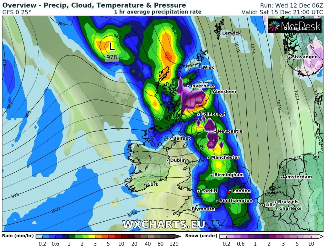
Image: wxcharts.eu

Author: Jon Baylis