Very cold spell to continue with a risk of freezing fog – Thursday 8th December 2022 – Sunday 11th December 2022
Hi all,
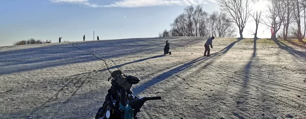
Winters these days never seem as cold as they were when I was a kid and we’re getting used to mild Decembers too. Not this year though, as the month has certainly seen a trend to much colder weather and now we’re under an Arctic airflow with days of frosts, some severe, ahead. It will be cold enough to snow but we need precipitation for that and the general theme for the coming days is mostly dry with the chance of a few disturbances in the atmosphere as low pressure will be close by.

Thursday: After a bitter night the day will dawn with temperatures well-below freezing. Sunny spells during the day with some patchy cloud drifting down from the north later in the day which could produce a few light snow flurries/showers. Temperature struggling to get above freezing. Max 1°C Min -6°C
Friday: Another sharp frost to start and the day is likely to be an ice day for most. Some bright spells but more in the way of mist or fog is likely especially later with patches of freezing fog setting in overnight. Max 1°C (below freezing all day if you’re misty/foggy). Min -4°C

Weekend: Very cold, risk of freezing fog increases and perhaps a few light snow showers cropping up.
Saturday: A bitterly cold day with the odd bright spell but it is expected to be misty/foggy once again with a lot of cloud around. Can’t rule out the odd light snow shower. Not as cold overnight due to cloudier conditions and some of us with freezing fog. Max 0°C Min -3°C
Sunday: Frost and freezing fog to start which will be slow to clear in places. Areas staying in the fog all day will see sub-zero temperatures. Elsewhere some bright spells and again perhaps an isolated snow shower. Max 0°C Min -3°C
Outlook: The working week will start very cold and very similar to Sunday albeit windier and a biting wind too. Perhaps a bit more in the way of sunshine after early freezing mist/fog clears. Tuesday will see a cold easterly wind pick up as an area of low pressure tries to come up from the south-west.
What happens from here is still uncertain. The low pressure could push in bringing a spell of heavy snow before turning to rain and less cold air arrives. This was the favourable outcome from some computer models. Now some computer models are keeping the low pressure slightly further south, so flirting with the south-west of England and Wales, before pushing back towards the south-west as the cold air wins. This would keep the Jet Stream south of us and hence the colder-than-average spell will continue for the rest of the week with frosts and scattered wintry showers.

What the outcome is later next week, will be more certain as this weekend goes on, so look out for updates on Twitter. With current energy prices this is not the weather we needed but it does bring back nice memories of winters starting cold with Arctic air and frost lasting all day.
Follow @ChadWeather on Twitter for the latest forecasts and warnings.
Thanks,
Jon
Forecast Issued on Wednesday the 7th of December 2022 at 7:52pm.
Images: www.wxcharts.com


