

Becoming warmer, sunnier and dry – Thursday 12th September 2019 – Sunday 15th September 2019
Hi all,
Our weather has been unsettled for a while now and with the remnants of ex-Hurricane Dorian bringing a wet and windy Wednesday morning, then ex-Tropical Storm Gabrielle on the way for Thursday, there will be little change over the 48 hours. BUT, high pressure is on the way and we have a much improved-weekend to look forward to.
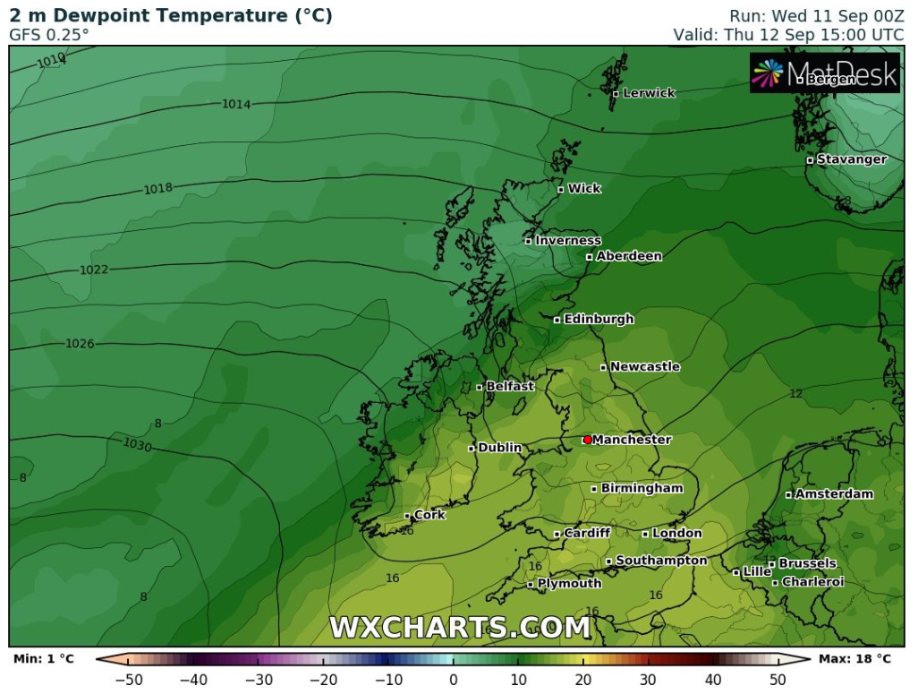
Thursday: A bright start soon fading as cloud and patchy rain comes in from the west. A warm sector will bring some tropical air, so feeling humid and warm out there despite the conditions. Max 19°C
Friday: High pressure arrives so a different day than recently. Plenty of dry weather with sunny spells. Feeling pleasant and less humid. Max 17°C
Weekend: Splendid.
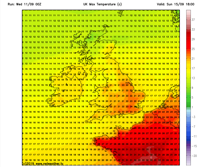
Saturday: A misty and chilly start, which will lift then a day of sunny spells and dry weather. Some fair-weather cloud at times and feeling warm in light winds. Max 18°C
Sunday: Some mist patches then sunny spells and warm. Light winds. Max 20°C

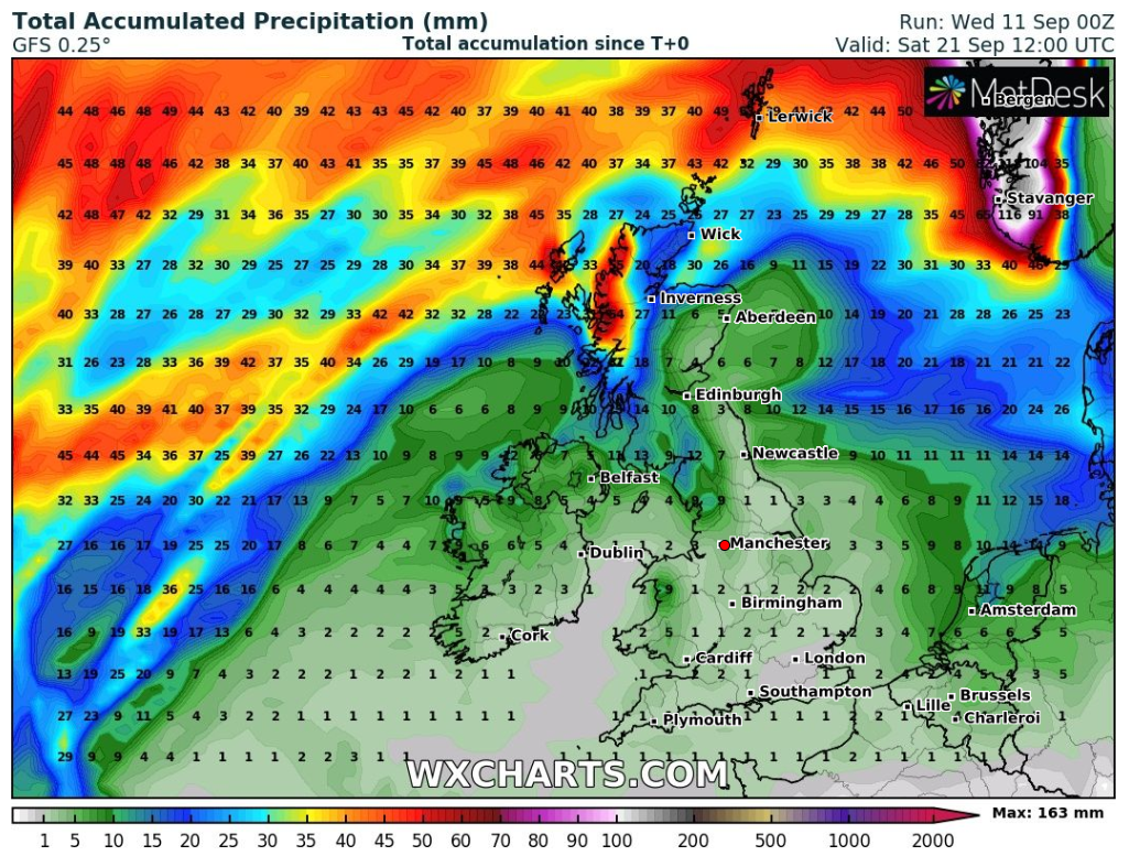
Outlook: High pressure remains. Lots of dry weather. Very little rain over the coming 7 days. Variable cloud with sunny spells. Some mist and fog in the mornings. Temperatures 17-19°C.
Follow @ChadWeather on Twitter for the latest forecasts.
Thanks,
Jon
Forecast Issued: Wednesday 11th of September 2019 at 10am
Images: www.wxcharts.com & www.netweather.tv

Author: Jon Baylis