Becoming windy with a brief return to rain looking likely – Thursday 7th March 2024 – Sunday 10th March 2024
Hi all,
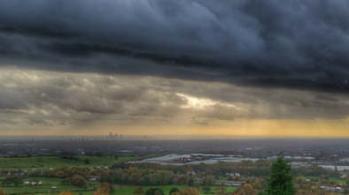
Finally, we’ve had a break from the relentless rain and unsettled conditions. This week, we’ve seen some pleasant sunshine as we entered the season, meteorological-speaking, of Spring. It’s felt quite warm in the sunshine and sheltered from the breeze and even lawns are being cut. But, although we’ve still had a few frosts, the main plus, has been drier days. But, will this theme continue, as low pressure threatens from our south.
Thursday: More cloud is expected compared to recent days and also the wind is likely to increase as the day wears on to become particularly gusty. Some bright spells around but a bit more of a disturbance in the atmosphere is likely to mean we see a few showers cropping up late-afternoon. Feeling cool in the wind. Max 10°C Min 4°C
Friday: Overcast to start then some sunny spells breaking out here and there. Notably windy with a gusty easterly, to 35mph at times. Feeling chilly in exposure to the wind. A dry day is expected and no frost overnight as cloud rolls in from the south-south-east. Max 9°C Min 4°C
Weekend: Cloudier. Risk of rain returning.
Saturday: A mostly cloudy and windy day with the cloud thick enough at times for some patchy rain or drizzle. Hopefully a bit drier later in the day. Max 10°C Min 6°C
Sunday: Cloudy with some rain or drizzle around in the morning which should ease away into the afternoon. Brightness looks limited. Again, windy taking the edge off the temperature. Max 9°C Min 5°C
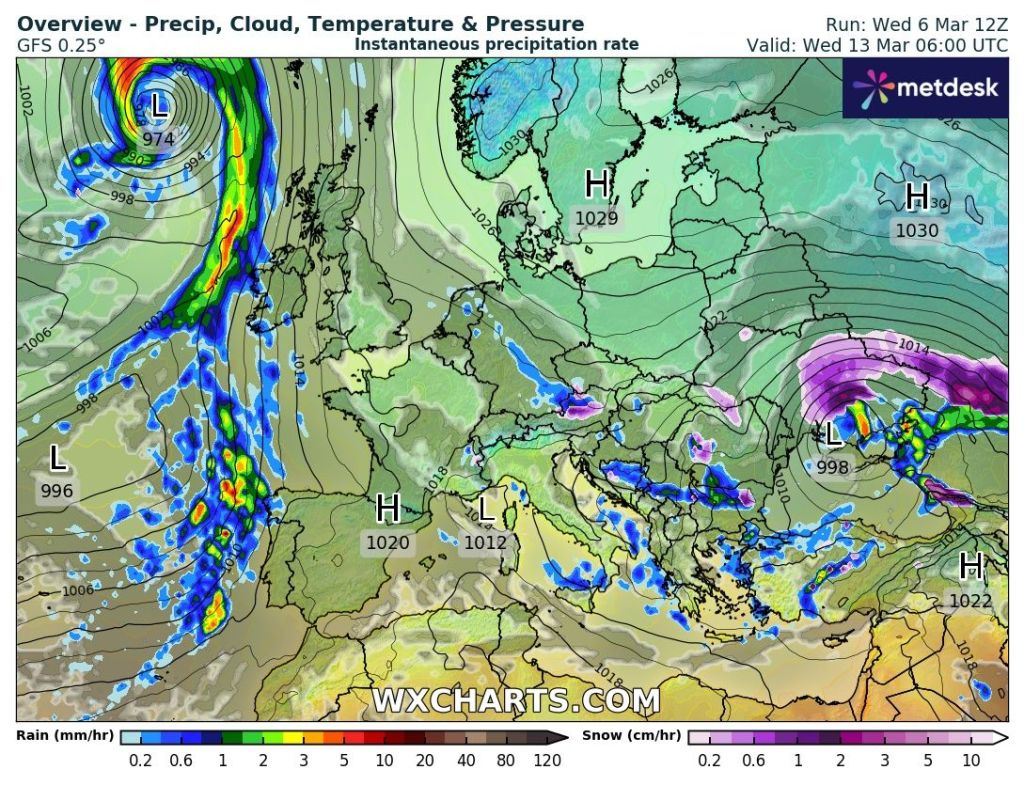
Outlook: Western parts of the UK will become more unsettled with showers or longer spells of rain. These weather-fronts will try their best to move into the region but a battle could be on, as high pressure to the east/north-east holds firm. If this high holds out then we might not see much in the way of a lot of rain next week as the GIF below shows. Fingers crossed for another low rainfall total week. Temperatures around average though and no frosts expected. Any winter-like weather looks like it’s done with {famous last words}.
Follow @ChadWeather on X for the latest forecasts and warnings.
Thanks,
Jon
Forecast Issued: Wednesday the 6th of March 2024 at 6:34pm

Author: Jon Baylis