
Disruptive snow for some before milder air wins – Thursday 9th March 2023 – Sunday 12th March 2023
Hi all,
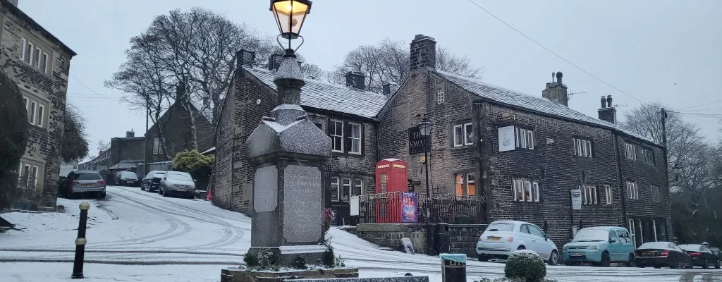
It’s been an up-and-down few days of forecasts, with disruptive snow due on Thursday one minute, then not the next, now it’s on the cards again, but as it goes with snow events; there can be a massive difference between locations depending on the height above sea level. Don’t be surprised to see sleet/wet-snow in Manchester city centre with not much on the ground compared to snow ankle-deep just a few miles away towards, and on the Pennine routes.
This is a great website for working out your height above sea level which could make all the difference between rain or snow tomorrow.
en-gb.topographic-map.com/map-kb57/England/
So, what does the next 4 days and beyond have in store?
This forecast is subject to change as is the current set-up of the weather with cold and mild air battling it out across our shores. You can always see the very latest on Twitter.
Thursday: AM: Cloudy with rain, sleet and snow. A graphic from BBC Weather highlights this well. Rain (W) Snow (E – hillier). Pulses of precipitation patchy at times especially so in the west. PM: Snow is expected to continue & perhaps become more extensive (late-evening) to lower-levels that saw rain/sleet earlier. It will also be windy with gusts on the western side of the Pennines exceeding 40mph later in the day leading to blizzard-conditions. Windchill of -6°C.
Yellow & Amber warnings in place.
The snow is likely to cause travel disruption.
Max 2°C Min 0°C


Friday: Early sleet and snow fading during the morning after leaving a good dumping in places. Sunny spells arriving into the afternoon. Clear skies overnight leading to widespread ice and a hard frost. Max 4°C Min -4°C


Weekend: Risk of hill-snow then milder.
Saturday: After a dry, icy and frosty start with some sunny spells, cloud amounts will increase as another weather-front swings in from the west, albeit slowly and will bump into the cold air. Hazy bright spells into the afternoon but it should stay dry until overnight when patchy rain, and some hill-snow moves in. Max 5°C Min 1°C
Sunday: Finally much milder air returns from the south-west with windy conditions and showers at times, especially later. A thaw of any snow left on the hills. Max 10°C Min 6°C
Outlook: Remaining unsettled with spells of rain/showers at times and breezy. Incursions of colder air means snow on the hills can’t be ruled out. I’ve been putting off cutting the lawns and planting seeds etc., holding out for warmer weather but there’s certainly no sign of that yet! It’s not unusual to have a chilly March and this one, so far, is no exception.
Follow @ChadWeather on Twitter for the latest forecasts and warnings.
Thanks as always for reading.
Jon
Images: www.wxcharts.com, BBC Weather, Met Officeand @Met4CastUK on Twitter.
Forecast Issued: Wednesday the 8th of March 2023 at 9pm.

Author: Jon Baylis

