Low pressure continues to dominate – Thursday 28th March 2024 – Bank Holiday Monday 1st April 2024
Hi all,
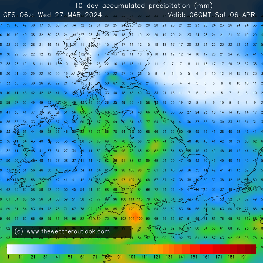
It’s time for April showers, albeit ahead of schedule. The rain is set to keep on coming, mostly via the form of showers. It won’t rain all of the time and there will be some brightness in between, so grab it when you can. Look out for some hail, amazing clouds and rainbows over the coming days and even listen out for some thunder as towering shower-clouds form.
UV levels are now medium and there is certainly some warmth in that sun – when it decides to come out that is!

Thursday: An area of low pressure, named Storm Nelson (by the Spanish Met Service) will swing up from the southwest bringing an unsettled day with windy conditions, bright spells and frequent hefty showers, especially early on and later in the day. The showers could be thundery and with hail. Max 10°C Min 4°C
Good Friday: The showers will continue but they are expected to be a bit more scattered but still beefy and thundery, fuelled by the warmth from the sun. Bright spells in between and a little milder. Max 13°C Min 5°C

Long Weekend: Temperatures rising a notch and showers decaying as the low fills but will it be replaced by another?
Saturday: Sunshine and showers. Showers fewer and further between but still heavy if you catch one. Feeling pleasant in the increasing-in-strength sunshine. Max 14°C Min 6°C
Sunday: The low pressure will start to fill so showers should become isolated then fade. Some brightness. Lighter winds and feeling pleasant if you catch any sun. Mild. At this stage it looks like the best day of the holiday. Max 15°C Min 7°C

Bank Holiday Monday: It currently looks like a settled day but with heavy showers not too far away to our west and south-west. So, today’s forecast is likely to change. A little bit cooler with an easterly airflow. Max 13°C Min 6°C
Outlook: It looks like we will still have low pressure anchored to our south-west throwing up bands of showers or rain at times. Brighter and drier interludes in between. No sign of anything settled or a prolonged drier spell with warmer temperatures. Our environment needs a couple of drier weeks for sure.

Follow @ChadWeather on X for the latest forecasts and warnings and for daily updates.
Thanks as always for stopping by to read my weekly blog and for your interactions on X. I hope you all have a lovely Easter.
Jon
Forecast Issued: Wednesday the 27th March 2024 at 5:37pm.
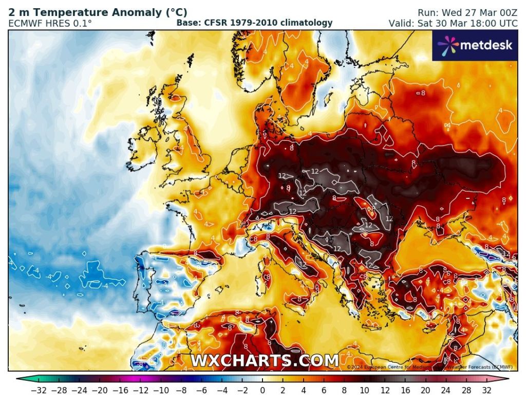
Images: www.wxcharts.com & www.theweatheroutlook.com


