A colder end to March and yet more rain but will high pressure welcome in April? – Thursday 21st March 2024 – Sunday 24th March 2024
Hi all,
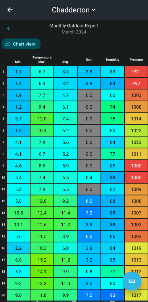
The rain keeps coming and after a 7-day dry spell earlier in the month we’ve now had a 9-day wet spell of weather with approx. 1 1/2 inches of unwanted rain. Despite that, it has been mild to very mild but winds are set to turn to a colder direction as we bring March to a close.


Thursday: A better day than yesterday, with mostly cloudy skies, but the cloud will be thin enough at times to allow a few hazy sunny spells to come through. The last milder-than-average day to come this week. Chance of the odd light shower especially later. Max 13°C Min 8°C
Friday: A cold-front will have moved through and with it cloudy skies and some patchy rain. Skies should brighten and it will turn cooler with winds swinging to the northwest. Plenty of sunny spells on offer but convection in the Irish sea will feed in some showers as the day progresses which could be wintry on the hilltops. A much colder-feel especially in the gusty wind. Max 9°C Min 3°C
Weekend: Sunday looks best.
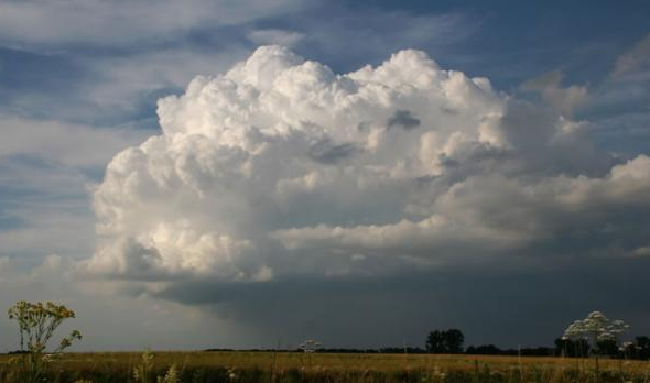
Saturday: A windy and cold day with frequent showers. These will be heavy at times with hail and thunder possible. Bright spells in between. Max 8°C Min 4°C

Sunday: Drier with any early showers becoming confined to the east of the Pennines. Some sunny spells breaking out and winds eventually easing. Still chilly. Max 10°C Min 4°C

Outlook: It’s favourable that it turns a little cooler for the final week of March with some chilly nights and showers, some beefy and thundery with hail by day. Temperatures returning to normal for the last couple of days, perhaps back close to the mid-teens before we enter April. No sign of anything significantly warm yet. I wonder if we’ll see the first 20°C of the year in April or May?


Follow @ChadWeather on X for the latest forecasts and warnings.
Thanks,
Jon
Forecast Issued Wednesday the 20th of March 2024 at 5pm.
Images: www.tropicaltidbits.com, www.wxcharts.com & www.theweatheroutlook.com.


