

No Heatwave but Summery – Thursday 27th June 2019 – Sunday 30th June 2019
Hi all,
So it looks like we are finally going to get some sunny and very warm-to-hot weather after what has been a disappointing June. There has been a lot of talk in the media about a heatwave and record-breaking temperatures but there isn’t a heatwave on the way for us. That said, we will certainly appreciate the blue skies and summery conditions.
Depending on slight changes in the wind direction and any early morning cloud the maximum temperatures could vary by a degree or two, but you get the idea, decent weather ahead.
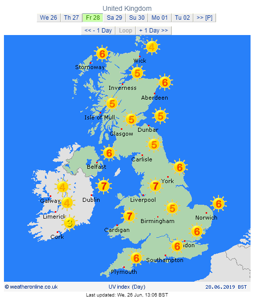
Remember the sun is very strong at this time of the year, so don’t forget your sun-cream.
Thursday – Perhaps cloudy to start, then very warm sunny spells developing widely. Max 23°C
Friday – Any low-cloud will burn away then becoming sunny, very warm and slowly humid. Breezy later. Max 24°C
Weekend: Hot then cooler
Saturday – BBQ time. Sunny spells and feeling hot but it will be windy at times, especially later. Low chance of a home-grown shower developing. Max 26°C
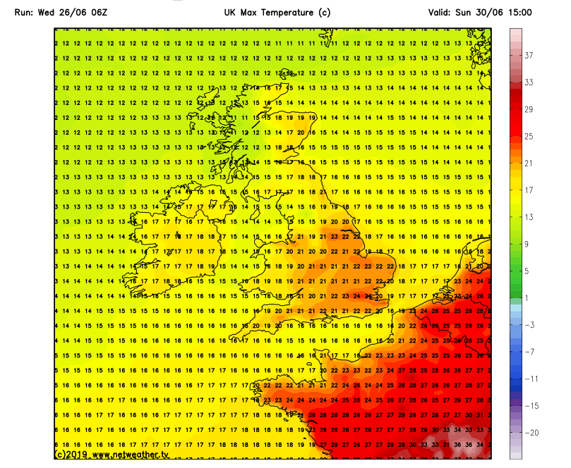
Sunday – Much cooler as the wind turns more westerly. Sunny spells, and the chance of a shower or thunderstorm can’t be ruled out. Max 20°C
Outlook: Temperatures returning to normal but it will stay quite settled with warm sunny spells and perhaps the occasional shower. Turning a little warmer later in the week. Max 18-22°C
Follow @Chadweather on Twitter for the latest forecasts.
Thanks,
Jon
Forecast Issued at 1:45pm on Wednesday the 26th of June 2019
Images: www.weatheroline.co.uk and www.netweather.tv

Author: Jon Baylis