
Rain to return then temperatures falling to below average – Thursday 20th April 2023 – Sunday 23rd April 2023
Hi all,
We’re halfway through Spring but some of the media outlets have started throwing clickbait articles out there for a mini-heatwave (they can’t happen, like a mini-tornado isn’t a thing) and 40°C temperatures this summer. Nothing but Jackanory for clicks. In truth, nobody knows what summer will bring, and temperatures reaching 40°C is about a 1% chance, so yes it’s possible but predicting what is coming in 4-5 days is hard enough let alone trying to say what summer will deliver, when we’re six weeks away from starting it, is just crazy. So you know the rule. Ignore and don’t click the link.
April can be a fickle month and we’ve certainly had some ups and downs already. Easter was nice, for most of it and we’ve had some decent sunny days but rain is never too far away. This current settled spell, albeit windy, had brought more welcome sunshine but again it’s not set to last, with rain returning before the weekend, then a cold northerly airflow drops the mercury into next week.
Thursday: A chilly start with a touch of ground-frost in the most sheltered of spots. Last of the sunny days with plenty on offer and remember it is now giving UV levels of 5, so don’t forget your suncream. It will again be windy, locally 30mph. Cloud will increase later into the evening. Pleasant where sheltered. Max 14°C
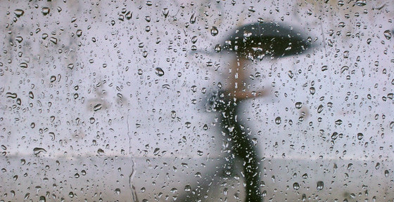
Friday: Cloud and a developing area of low pressure will bring rain. There will be the odd heavier burst and it will be showery at times. Feeling cooler with a fresh wind, again gusty. Max 10°C

Weekend: Not much to cheer about.
Saturday: With low pressure now in place it will be unsettled. Showers with some bright spells here and there. Not as windy as recent days if you’re looking for something to note as an improvement. Max 12°C
Sunday: Overall drier but it will still be cloudy with the odd area of patchy rain. Max 11°C
Outlook: Colder air will come down from the north during Sunday night leading to a chilly Monday with mostly cloudy skies. Tuesday sees some bright spells but cold with temperatures to stay in single-figures and the risk of a frost overnight is there. Similar on Wednesday before the temperature begins to recover during the latter stages of the week but it is looking to stay unsettled. The wait will be on for the next settled spell of warm sunshine and dry days.
Follow @ChadWeather on Twitter for the latest forecasts and warnings.
Thanks,
Jon
Forecast Issued: Wednesday the 19th of April 2023 at 4:42pm.
Images: www.wxcharts.com

Author: Jon Baylis

