Drab until next week when Arctic air turns us colder with the potential for snow midweek – Thursday 11th January 2024 – Sunday 14th January 2024
Hi all,
I have weather records for the last 11-12 years. 2023 ranked top when it comes to overall average temperatures.
2023 10.7°C
2022 10.5°C
2014 10.2°C
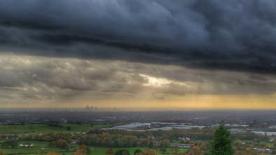
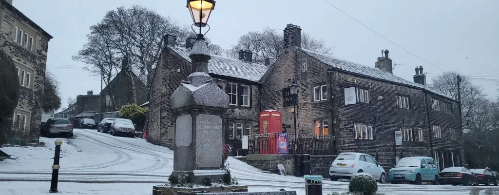
I went and conducted my second tornado site investigation on Sunday to fill in the gaps of missing data. Again, a lot of damage to property, ridge and slate tiles missing. Also trees damaged from twisted, ripped off branches to full uproots. Here’s a selection of the photos from that day.


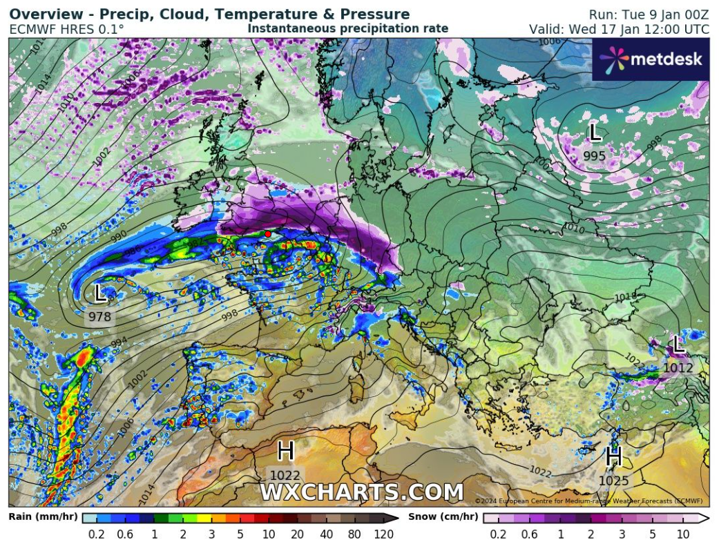
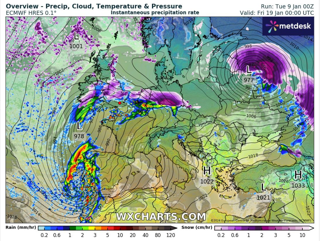
So as you can see. Next week looks a lot more complex than this week has been. This week being dominated by high pressure means it can be easy to predict plenty of dry weather although predicting cloud amounts and where those breaks appear can be a challenge. Even a large high can be cloudy and have cloud thick enough for drizzle. Predicting that isn’t easy either.
So will it snow next week? The chances are increasing and certainly more precipitation seems to be in the mix and when we have cold air in place at this time of the year, snow cannot be ruled out. So, watch out for updates on X.
Thursday: Mostly cloudy with a few breaks here and there and also the odd patch of drizzle. Cool. Max 6°C Min 3°C
Friday: Still cloudy but the cloud should not be as thick so drizzle unlikely and more bright spells possible. Lighter winds and a little cooler. Max 5°C Min 1°C
Weekend: Colder air is coming.
Saturday: Another cloudy day and with westerly winds some patchy rain or drizzle could return, especially later in the day. Max 6°C Min 2°C
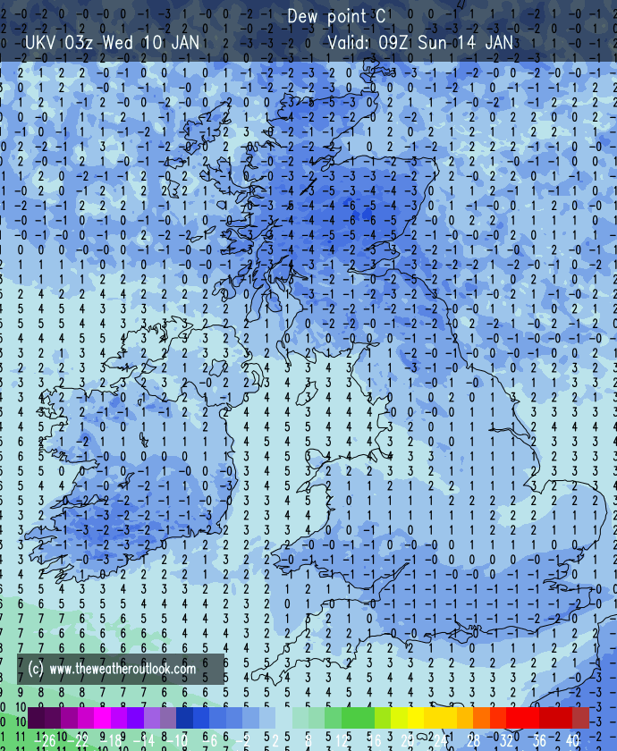
Sunday: Little change initially with cloudy skies and areas of drizzle. Later in the day the winds will turn more northerly or northwesterly and allow colder, Arctic air to filter south behind cold fronts. Frosty overnight as skies clear. Max 6°C Min -1°C
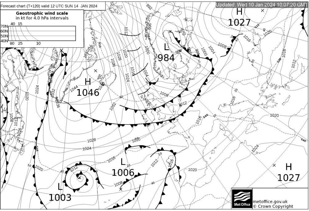
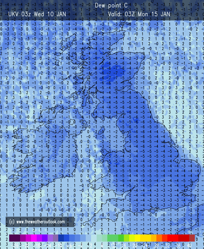
Outlook: Sunny and cold to start with a few wintry showers on Tuesday. Wednesday could well see sleet and snow push up from the southwest. Where the low pressure tracks will determine how the weather pans out for the remainder of the week and of course which areas will see snow. Look out for updates on X.
Follow @ChadWeather on X for the latest forecasts and warnings.
Thanks,
Jon
Forecast Issued: Wednesday the 10th of January 2024 at 6pm
Images: www.wxcharts.com & the Met Office.

Author: Jon Baylis