
Summery with hot spells – Thursday 6th August 2020 – Sunday 9th August 2020
Hi all,
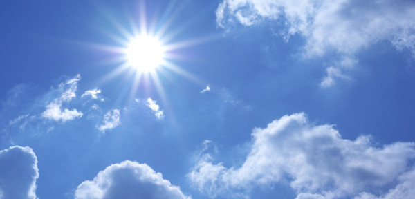
August tends to be a bit of a mixed month and it started to form. Good news – temperatures are set to rise and with it sunnier skies and a drier spell of weather to enjoy but a return to mixed conditions on the horizon?
**UV levels still high (7) so don’t forget sun-cream on your days outside**
Thursday: Mostly cloudy with warm bright spells developing later in the day but this might not be until evening for some of us. Muggy. Max 22°C
Friday: Second sweaty Friday in a row. Hot with sunny spells. Feeling humid. Perhaps a little less hot further west. Max 27°C

Weekend: Decent, plenty of sunny spells to go round and pleasantly warm.
Saturday: A cold front will have moved through so not as hot but still warm with sunny spells developing after a cloudy start. Dry and feeling very warm in the August sunshine. Max 22°C
Sunday: Sunny spells and warm but becoming windy introducing a steady east or northeasterly wind which will be gusty as it comes over the Pennines. Dry. Max 21°C
Outlook: Remaining warm (even very warm) with temperatures into the 20s but becoming a little unstable with a risk of showers or even thunderstorms towards midweek.
July 2020 Stats
Max 31.6°C (31st)
Min 7.2°C (12th)
Av. 14.1°C
Av. Dew Pt 10.9°C
Wettest 18.4mm (27th)
Av. Humidity 82%
Av. Barometer 1016 hPa
Max Gust 34.5 mph (5th)
Av. Wind Direction W
Rain 103.8mm (130% of average)
Rain Registered Days 24
Dry Days 7
Follow @ChadWeather on Twitter for the latest forecasts.
Thanks,
Jon
Forecast Issued: Wednesday the 5th of August 2020 at 10:55am.
Image: www.netweather.tv/

Author: Jon Baylis

